Google brings live Google Maps data to its Gemini models
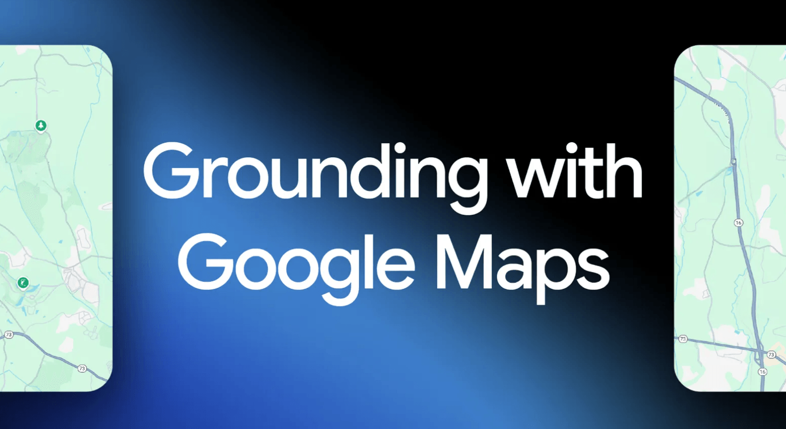
Google is rolling out a new feature in the Gemini API called "Grounding with Google Maps." This update lets developers link their AI apps directly to current, structured location data from Google Maps.
With this integration, Gemini can automatically recognize location-based questions and pull details from over 250 million places, including addresses, hours, photos, and user ratings. The feature is now available to everyone.
Developers can access the feature through the Gemini API and activate it with tools like the Python SDK. The API also returns a context token that embeds an interactive Google Maps widget in the app, so users get a familiar interface with all the essential info.
Use cases: travel, real estate, logistics
According to Google, "Grounding with Google Maps" is meant to make location-based AI apps more useful and intuitive for travel, real estate, retail, and logistics. For example, a travel planner could generate a full daily itinerary for San Francisco, complete with estimated travel times, opening hours, and restaurant recommendations.
Real estate apps could suggest apartments near schools or playgrounds for families. Users can also check if the coffee shop at 1st and Main has outdoor seating, with data pulled straight from Google Maps. Developers can narrow search results to specific regions by entering latitude and longitude coordinates.
Combining Maps and Search for better results
For more complete answers, "Grounding with Google Maps" can be paired with "Grounding with Google Search". Maps provides structured data like addresses and ratings, while Search adds dynamic info such as event dates or the latest news.
Google offers this example: if you ask about "live music on Beale Street," Maps gives you the business hours, while Search supplies concert times. According to Google, internal tests show that combining both features leads to significantly better answers than using just one.
"Grounding with Google Maps" works with the latest Gemini models. Developers can choose from different models to balance cost and performance. Google's official documentation, the Google AI Studio with a demo app and remix option, and the Gemini API Cookbook all provide entry points for getting started.
AI News Without the Hype – Curated by Humans
As a THE DECODER subscriber, you get ad-free reading, our weekly AI newsletter, the exclusive "AI Radar" Frontier Report 6× per year, access to comments, and our complete archive.
Subscribe nowAI news without the hype
Curated by humans.
- Over 20 percent launch discount.
- Read without distractions – no Google ads.
- Access to comments and community discussions.
- Weekly AI newsletter.
- 6 times a year: “AI Radar” – deep dives on key AI topics.
- Up to 25 % off on KI Pro online events.
- Access to our full ten-year archive.
- Get the latest AI news from The Decoder.