A unique image dataset from the Arctic is set to enable new AI tools for climate change research.
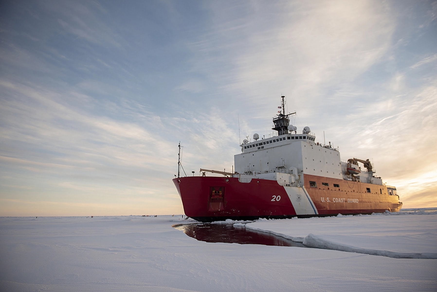
The images are being collected during a three-month U.S. Coast Guard (USCG) research mission aboard the icebreaker Healy. The dataset can be used to train AI systems to help analyze new images of the Arctic, providing insights into climate change and the changing environment.
The camera system on the Healy was developed by researchers at MIT Lincoln Laboratory together with the U.S. Cost Guard Research and Development Center. The Cold Region Imaging and Surveillance Platform (CRISP) was specifically designed to capture images of the Arctic. It consists of a long-wave infrared camera, a GPS-synchronized clock, and a networked image recorder.
Arctic dataset to be made freely available
The recording system takes a 15-minute video every three hours and an image every 15 seconds. The mission will run through the fall, when an estimated four terabytes of data will be made available to the public.
This mix of data could be used to train different analysis systems with different focuses, using the new images to detect changes that might have escaped human attention or to reveal new correlations.
The team hopes that researchers from around the world will use the data to develop AI tools for further Arctic outreach and climate change research. They also plan to train their own basic object recognition and image analysis models and make them available to the scientific community for further development. The team cites object classifiers and object tracking systems as examples. The data will also be used to plan future U.S. Coast Guard missions.
Once the dataset is available, it will be posted on the Lincoln Laboratory website.