Google Maps: AI to read street signs

Google wants to keep Google Maps up-to-date with an "AI-first" approach. The processes demonstrate Google's data power in our everyday lives.
With Maps, Google has a billion-dollar opportunity in its own portfolio that has not yet been monetized, especially since Maps is increasingly networked with local businesses and their services. Maps is predestined as an intermediary app or for advertising. In addition to local orientation Maps is also a high-quality tool for navigation by various means of transportation or on foot.
In all application areas the following applies: up-to-dateness is the most important quality feature. Google wants to maintain this as automatically as possible, i.e. with artificial intelligence.
Automatic opening hours updates for stores
Google has already reported on the successful use of AI in Google Maps in the past. The telephone AI Duplex automatically calls businesses, asks for opening hours and then updates the business entries in Google My Business, the business database linked to Maps.
Now Google describes a complementary algorithmic analysis of all environmental factors: how many people are currently in the store, when was the entry last updated, when are other comparable stores on the street open? Google even analyzes possible opening hours signs on Street View images.
The opening hours are then verified by humans - Google Maps users who answer questions in the app. According to Google, the "AI-first" approach will automatically update 20 million business listings worldwide in the next six months.
That's a lot of work that would normally be done by humans (or not) - and impressively demonstrates the power of Google's data in our everyday lives via linked systems: computer vision, pattern recognition in location data and analysis of similar data.
AI analysis also for road traffic
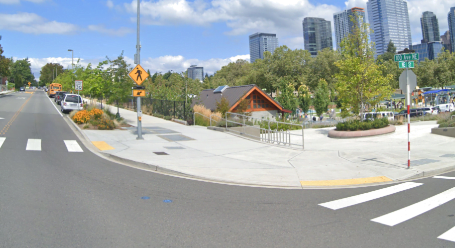
Google wants to expand the automatic AI update of Maps: In the U.S. Google is launching a pilot project with third-party street imagery. When Google's systems assume that a speed limit on a particular road might be out of date, it requests photos of that road and lets an image AI extract the information from the speed limit signs on the images.
The process is not completely automatic, as Google says an "operations team" helps with the speed limit check. Privacy-relevant data in the images is blurred, according to Google.
"AI, imagery and duplex technology will continue to play a critical role in making Google Maps the most comprehensive and useful map," Google writes. Augmented reality already plays a role in Maps, too.
AI News Without the Hype – Curated by Humans
As a THE DECODER subscriber, you get ad-free reading, our weekly AI newsletter, the exclusive "AI Radar" Frontier Report 6× per year, access to comments, and our complete archive.
Subscribe nowAI news without the hype
Curated by humans.
- Over 20 percent launch discount.
- Read without distractions – no Google ads.
- Access to comments and community discussions.
- Weekly AI newsletter.
- 6 times a year: “AI Radar” – deep dives on key AI topics.
- Up to 25 % off on KI Pro online events.
- Access to our full ten-year archive.
- Get the latest AI news from The Decoder.